 Sedona ATV Tours
Home › Guides › Sedona Off-Road Trails: Which Routes Can ATVs and UTVs Ride?
Sedona Off-Road Trails: Which Routes Can ATVs and UTVs Ride?
The top things to do on Sedona Off Road Trails are riding Broken Arrow, running the Outlaw Trail loop to Honanki, climbing Schnebly Hill Road and reaching Devils Bridge with a machine. The Coconino National Forest lists 11 OHV routes in the Red Rock Ranger District, and this page shows which ones fit your ATV or UTV and how much time each one takes.
Quick answer Where ATVs and UTVs can legally ride around Sedona
Yes, you can go off roading in Sedona. The Coconino National Forest lists 11 OHV routes in the Red Rock Ranger District, from easy dirt forest roads to extreme 4WD routes needing high clearance, including Broken Arrow at 4 miles round trip and the 10.5-mile Outlaw loop.
Key takeaways
- Compare every machine and price on our Sedona ATV tours homepage
- Book a self-guided machine with the Honda Talon half-day rental
- Ride with a guide on the West Sedona backcountry ATV tour
- See the full mountain route on the Schnebly Hill Road jeep tour
Can you go off roading in Sedona?
Yes, the Red Rock Ranger District of the Coconino National Forest keeps 11 marked OHV routes open around Sedona, ranging from easy dirt forest roads upward.
Off roading is legal here, but only on designated routes. The forest service publishes the official list, and riding off an open authorized road is not allowed. Some routes need extra permits, and a few need a street-legal vehicle, so it pays to know the rules before you rent.
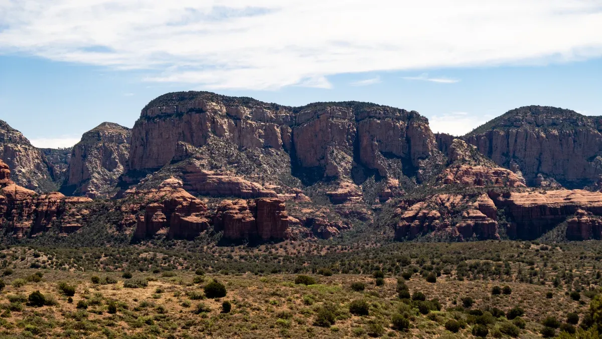
Red rock mesas seen from the Outlaw Trail, Sedona. Photo: Sharon Mollerus, CC BY 2.0, via Wikimedia Commons
The official route list
The Coconino National Forest highlights 11 different OHV routes in the Sedona area of the Red Rock Ranger District, with difficulty running from Easy, which means a dirt forest road, up to extreme 4WD routes that need high clearance. That list is your ground truth for what a rented ATV or UTV can legally ride.
The main forest rule is simple: do not drive off an open and authorized road, and obey speed limits while minimizing noise in neighborhoods. The forest also posts an alert about severe flooding with many closures in the Red Rock Ranger District, so check conditions with the district before you ride.
Named routes on the list include Broken Arrow, a 4-mile round trip, the Outlaw route at a 10.5-mile loop, Diamondback Gulch at a 6-mile loop, Soldier Pass at 2.5 miles round trip, Schnebly Hill at 11 miles one way, Ranch Loop at 6.5 miles, Cliffhanger at 5.5 miles one way and Powerline at 6.5 miles one way.
| Route | Distance | Notes |
|---|---|---|
| Broken Arrow | 4 miles round trip | Renowned route in the Coconino National Forest |
| Outlaw | 10.5-mile loop | Connects to the Honanki Heritage Site |
| Diamondback Gulch | 6-mile loop | Rocky desert trail |
| Soldier Pass | 2.5 miles round trip | Permit booked at least 72 hours ahead on Recreation.gov |
| Schnebly Hill | 11 miles one way | Historic mountain road |
| Ranch Loop | 6.5-mile loop | Easy forest riding |
| Cliffhanger | 5.5 miles one way | Exposed terrain |
| Powerline | 6.5 miles one way | Long forest route |
Vehicle class rules
Arizona law splits the routes. On National Forest roads marked with horizontal route markers, only a street-legal vehicle may drive, which means a motorcycle plate plus an OHV decal. A nonresident needs the Arizona OHV decal for machines designed mainly for unimproved terrain that weigh 2,500 pounds or less, including street-legal ones. Nonresidents do not need the decal for dual-sport motorcycles or 4x4 vehicles.
If you rent from a tour operator, ask whether the machine already carries the decal, because the state page does not say whether rental or tour vehicles are covered. Guided tours handle all of this for you, which is the simplest legal path.
| Vehicle | Decal needed for nonresidents? |
|---|---|
| ATV or UTV under 2,500 pounds | Yes |
| Dual-sport motorcycle | No |
| 4x4 vehicle | No |
If you want to self-drive
Rentals run all day in West Sedona. For a full day, the Vortex full-day side-by-side rental gives you 8 hours at $575 per vehicle.
Sources: Coconino National Forest, Arizona State Parks, Arizona State Parks.
What is the most famous trail in Sedona?
Broken Arrow is the most famous off-road trail, a renowned 3.9-mile OHV route within the Coconino National Forest that ranks hardest of the six classic Sedona 4WD roads.
Broken Arrow carries the name recognition of the whole scene. It is short, it is technical, and it is the one route people mean when they say they want the real thing.
Broken Arrow
The Broken Arrow OHV Trail is a renowned 3.9-mile off-road route within the Coconino National Forest, and the forest service lists it as a 4-mile round trip. Earth Trekkers ranks it hardest of the six Sedona 4WD roads it covers, listed easiest to hardest as Schnebly Hill Road, Dry Creek Basin, Outlaw Trail, Diamondback Gulch, Soldier Pass Road and Broken Arrow.
One quirk matters if you navigate by phone: Broken Arrow is the only one of the six 4WD roads not on Google Maps, so download a detailed map before you go. If you would rather sit back, a guide drives it for you, and the Pink Jeep Scenic Rim Tour covers the red rock rims in 2.5 hours from $138 per person.
| Fact | Detail |
|---|---|
| Distance | 3.9 to 4 miles round trip |
| Difficulty | Hardest of the six classic 4WD roads |
| Setting | Coconino National Forest |
| On Google Maps | No |
The other five classic roads
Broken Arrow tops a list of six. Schnebly Hill Road runs 12 to 17 miles in 2 to 3 hours, rated easy to adventurous. Dry Creek Basin is an 11-mile easy drive of about 2 hours.
Outlaw Trail is a 6.4-mile moderate point-to-point of about 2 hours. Diamondback Gulch and Soldier Pass round out the set. Each gets its own section below.
Source: Coconino National Forest.
Tours That Fit
These tours put you on the routes above without buying permits or decals yourself.
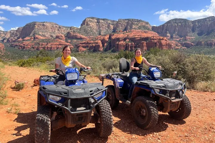
Arizona ATV Adventures Guided ATV Tour of the West Sedona Backcountry
You drive your own automatic ATV behind a local guide for about three hours in the West Sedona backcountry, up to the Skeleton Bone Mountain view. Helmet and goggles are in the price.
- Category
- Guided ATV tour
- Cancellation
- Free cancellation 24h
- Operator
- Arizona ATV Adventures
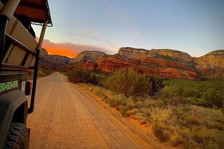
Arizona Safari Jeep Tours Outlaw Trail Off-Road Jeep Tour in Sedona
Three hours in an open 4x4 Jeep on the Outlaw Trail through old ranch land west of town, with Thunder Mountain, Doe Mesa and Loy Butte from the trail. A guide drives.
- Category
- Guided jeep tour
- Cancellation
- Free cancellation 24h
- Operator
- Arizona Safari Jeep Tours
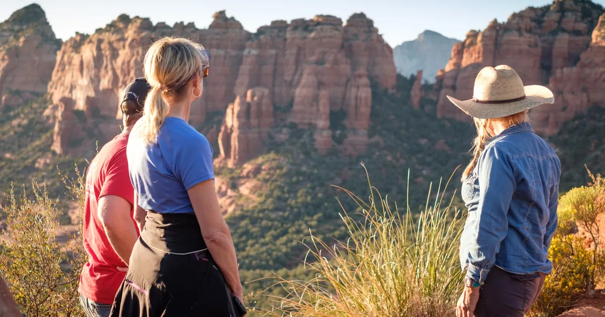
Arizona Safari Jeep Tours Rim Run Supreme up Schnebly Hill Road
A guide drives you 1,500 feet up the old Schnebly Hill wagon road through Bear Wallow Canyon to the Mogollon Rim, past Merry-Go-Round Rock and western film sites.
- Category
- Guided jeep tour
- Cancellation
- Free cancellation 24h
- Operator
- Arizona Safari Jeep Tours
Is Schnebly Hill Road drivable?
Yes, Schnebly Hill Road is drivable in a high-clearance 4WD vehicle, and it is an 11-mile one-way OHV route on the forest service list that takes 2 to 3 hours.
Schnebly Hill Road is the classic climb out of Uptown Sedona into the mountains. It is long, it is historic, and it is one of the best viewpoints in the area reachable by trail machine.
The route
Schnebly Hill Road starts east of Uptown Sedona and runs 12 to 17 miles depending on how far you go, taking 2 to 3 hours, rated easy to adventurous with a low thrill factor. The forest service lists it at 11 miles one way. Sedona Off-Road Center describes it as a 13-mile historic route, once a cattle route from the early 20th century.
Key stops come in a handy sequence. The Merry-Go-Round rock formation sits at mile 4.0 and Schnebly Hill Vista at 5.7 miles, with an optional 3-mile Volcanic Rim Loop rated adventurous. The road also passes the Cow Pies, with views over Bear Wallow Canyon, Munds Mountain and the Verde Valley.
| Mile point | What you see |
|---|---|
| 4.0 | Merry-Go-Round Rock |
| 5.7 | Schnebly Hill Vista |
| Optional | 3-mile Volcanic Rim Loop, rated adventurous |
Directions, camping and the Flagstaff end
Directions are simple from town: the route starts east of Uptown Sedona and climbs northeast toward the Mogollon Rim on the Flagstaff side. Schnebly Hill Road camping is not stated on any page we cover, so check with the Red Rock Ranger District at 8375 State Route 179, phone (928) 203-7500, before planning an overnight. If you would rather leave the driving to someone else, the Rim Run Supreme jeep tour up Schnebly Hill Road runs 2.5 hours from $124 per person.
Source: Coconino National Forest.
What are the easy Jeep trails in Sedona?
Dry Creek Basin in West Sedona is the easiest of the classic drives, an 11-mile easy route of about 2 hours that works well for beginners and hikers.
Dry Creek Basin is the gentle entry point to Sedona off roading. It is short on adrenaline and long on access, which makes it the right first drive in a rented machine.
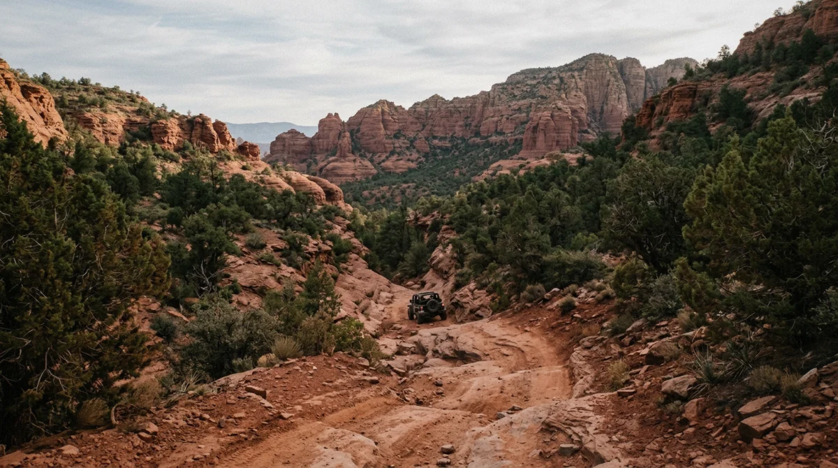
A red dirt gulch in the backcountry west of Sedona. Illustrative image.
Dry Creek Basin and Vultee Arch
Dry Creek Basin is an 11-mile easy drive of about 2 hours in West Sedona. Its main uses are hiking Devils Bridge, visiting the Van Deren Cabin at the 2.6 mile point, and reaching the Vultee Arch trailhead for a 3.6 mile round trip hike. The Van Deren Cabin was originally built in the 1920s and last renovated in the 1930s by the Van Deren family.
Devils Bridge is the reason most people drive it. Taking an OHV to Devils Bridge cuts the hike to 1.6 miles round trip from the trailhead versus roughly 4 miles and 4 to 5 hours on foot, and the drive fits a 2-hour rental. If you only have two hours booked, this is the route to pick.
| Stop | Detail |
|---|---|
| Devils Bridge | 1.6 mile round trip hike from the OHV trailhead |
| Van Deren Cabin | At mile 2.6, built in the 1920s |
| Vultee Arch trailhead | 3.6 mile round trip hike |
What is the Outlaw Trail in Sedona?
Outlaw Trail is a moderate route in West Sedona, a 6.4-mile point-to-point drive of about 2 hours that is usually ridden as part of the 10.5-mile forest service loop with FR 525.
The Outlaw Trail pairs rocky riding with a real cultural site. It is the best half-day combination of trail time and history in the area.
Terrain and the Honanki connection
Outlaw Trail is rated moderate difficulty with rocky terrain and sandy patches. Earth Trekkers describes it as a 6.4-mile moderate point-to-point drive of about 2 hours in West Sedona, usually turned into a loop with FR 525. The forest service lists the Outlaw route as a 10.5-mile loop.
The payoff is the Honanki Heritage Site, ancient ruins reached from the trail. Honanki is open 9:30 a.m. to 3 p.m. seven days a week, closed Thanksgiving and Christmas, and closes above 100°F or when roads are impassable. Day use there costs $5 per vehicle per day, $15 per week or $20 per year via Red Rock Pass, sold at the on-site machine. The road to Honanki is not regularly maintained and is rocky in places, so a high-clearance vehicle is recommended. If you would rather have a driver handle it, the Outlaw Trail off-road jeep tour runs 3 hours from $134.81 per person.
Sources: Coconino National Forest, Coconino National Forest.
How difficult is the Diamondback Gulch trail?
Diamondback Gulch is a moderate 6-mile loop that sits mid-pack among the classic Sedona 4WD roads, harder than Dry Creek and easier than Broken Arrow.
Diamondback Gulch is the in-between route. It gives you real trail feeling without the commitment of Broken Arrow, and Soldier Pass nearby adds a permit twist worth knowing.
Diamondback Gulch
The forest service lists Diamondback Gulch as a 6-mile loop. In the six-road ranking it sits fifth of six, harder than Soldier Pass and easier than Broken Arrow. Expect rocky desert terrain and allow a couple of hours at a relaxed pace.
| Route | Distance | Rank, easiest to hardest |
|---|---|---|
| Diamondback Gulch | 6-mile loop | 5 of 6 |
| Soldier Pass Road | 2.5 miles round trip | 4 of 6 |
| Broken Arrow | 4 miles round trip | 6 of 6 |
Soldier Pass and its permit
The Soldier Pass OHV route runs 2.5 miles round trip and requires a permit booked at least 72 hours ahead on Recreation.gov. That lead time makes it a planning route, not a spontaneous one, so book early if it is on your list. Soldier Pass is also served for hikers by the free Sedona Shuttle from park-and-ride lots, roughly 7 a.m. to 5 p.m., which is an option for anyone in your group skipping the ride.
Source: Coconino National Forest.
Do I need a permit to ride Sedona OHV trails?
Some routes need permits, such as Soldier Pass on Recreation.gov and Casner Mountain by phone, and nonresidents riding ATVs or UTVs on public land need the $25 Arizona OHV decal, while a Red Rock Pass is required when you park at a fee site.
The paperwork depends on your machine and where you stop. Here is what applies to a rented ATV or UTV.
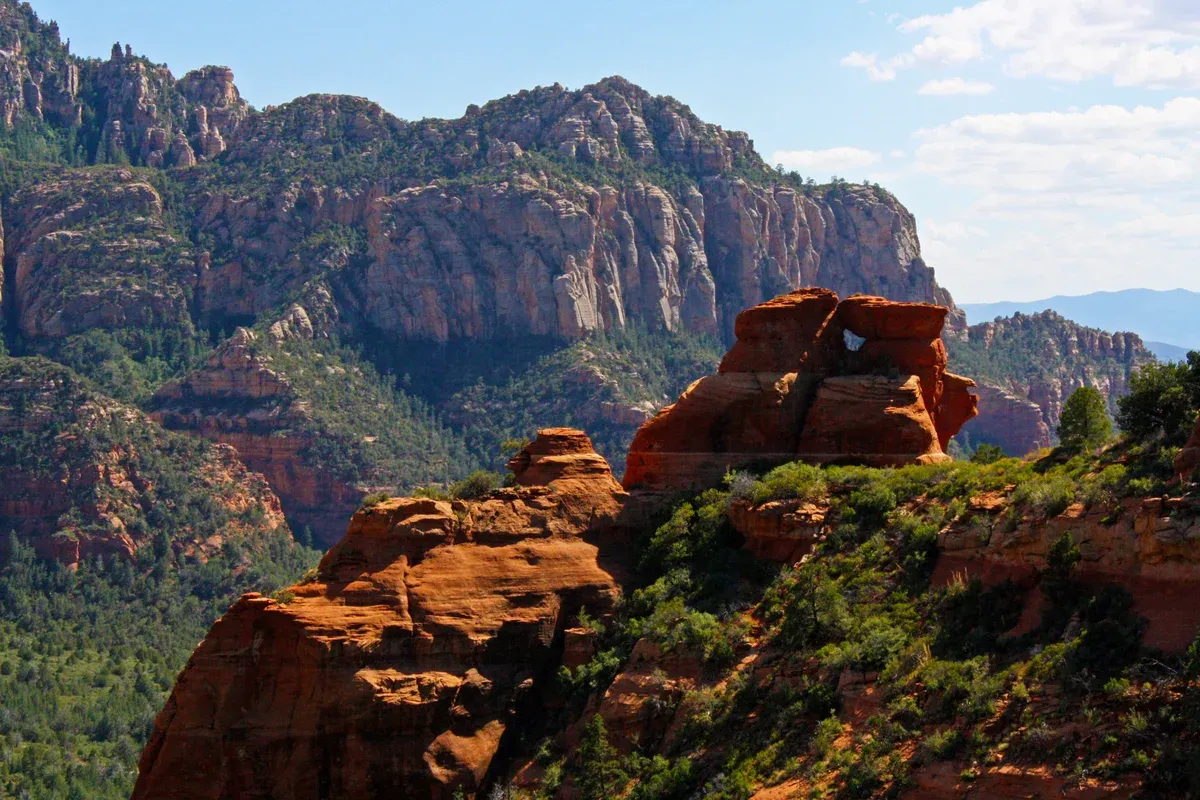
The vista on Schnebly Hill Road above Sedona. Photo: Brienne Magee; Coconino National Forest, CC BY-SA 2.0, via Wikimedia Commons
The OHV decal
Arizona requires a valid OHV decal on public and state trust land for any vehicle designed mainly for unimproved terrain that weighs 2,500 pounds or less, including street-legal ones. Nonresidents have had to buy the decal before riding since September 1, 2019, and each machine needs its own non-transferable decal. Nonresidents do not need the decal for dual-sport motorcycles or 4x4 vehicles.
The decal costs $25 plus a processing fee for residents and nonresidents alike and is valid for one year. Buy it online at ohv.azgfd.com or in person at AZGFD offices in Kingman, Mesa or Yuma. A receipt or screenshot works as proof of purchase for up to 30 days while the decal is mailed, which takes two to three weeks. If you rent, ask the operator whether the machine already carries the decal, because the state page does not say whether rental or tour vehicles are covered.
| Item | Cost or rule |
|---|---|
| OHV decal | $25 plus processing fee, valid one year |
| Who needs it | Any ATV or UTV up to 2,500 pounds on public land, resident and nonresident |
| Who skips it | Dual-sport motorcycles and 4x4 vehicles |
| Where to buy | ohv.azgfd.com online, or AZGFD offices in Kingman, Mesa or Yuma |
Permits and passes
Route permits are separate from the decal. Soldier Pass requires a permit booked at least 72 hours ahead on Recreation.gov. Casner Mountain, at 6.75 miles one way, needs a free permit, limited per year, by calling the Red Rock Ranger Station.
For parking, a Red Rock Pass costs $5 daily, $15 weekly or $20 annually and is valid at Coconino National Forest fee sites in the Sedona area only. You need a pass when you leave your vehicle at a fee site, and the forest service page does not say whether driving through without stopping needs one. The America the Beautiful annual pass costs $80 and can be used instead of a Red Rock Pass at many Sedona-area sites. A Red Rock Pass is not valid at national parks or Arizona state parks, which charge their own entry fees, and passes can be bought on Recreation.gov, where your license plate is recorded instead of a printed pass. A pass covers everyone in the vehicle, and the cardholder must be present.
Sources: Arizona State Parks, Coconino National Forest, Coconino National Forest.
Which trails can I ride on a 2-hour rental?
On a 2-hour rental, ride Dry Creek Basin to Devils Bridge, which cuts the hike to 1.6 miles round trip and fits the window, and save Broken Arrow, Schnebly Hill and the Outlaw loop for 4 hours or more.
Match the route to the clock. Two hours is a Devils Bridge trip, not a Schnebly Hill climb.
Routes by rental length
A 2-hour rental covers the Dry Creek Basin run to Devils Bridge, where the OHV shortens the hike to 1.6 miles round trip versus roughly 4 miles and 4 to 5 hours on foot. Four hours opens up the Outlaw Trail loop, Diamondback Gulch and the shorter end of Schnebly Hill Road. Eight hours, or a full-day rental, covers Schnebly Hill Road end to end at 11 miles one way plus a second route.
Guided tours solve the matching for you. The guided ATV tour of the West Sedona backcountry runs 4 hours with about 3 hours riding at $229.59 per person.
| Rental length | Best route |
|---|---|
| 2 hours | Dry Creek Basin to Devils Bridge |
| 4 hours | Outlaw Trail loop, Diamondback Gulch, Schnebly Hill shorter option |
| 8 hours | Schnebly Hill Road end to end plus a second route |
Booking rules to know
Sedona Off-Road Center is at 3075 AZ-89A, open 8:00 AM to 5:00 PM daily, and advises booking 2 to 3 weeks ahead for weekends and holidays. Its primary renter must be 21 or older with a credit card in their name, children must be 5 or older, a helmet is included for every rider, goggles are not provided, and a full refund applies for cancellations at least 48 hours ahead. Arizona ATV Adventures gives a full refund when cancelling at least 48 hours before the tour, and helmets, goggles, water and snacks are included on its ATV tours.
Its ATV tour drivers must be 15½ with a permit or license, drivers under 17 need a parent or guardian on the tour, and its RZR rental primary driver must be 21 or older with a valid license.
Do I need a helmet and other gear to ride?
Anyone under 18 must wear a properly fitted and fastened US DOT rated helmet on an OHV, eye protection is required on streets and highways, and lights are required from half an hour after sunset to half an hour before sunrise.
Arizona's OHV gear laws are firm about young riders and about visibility. Rental helmets cover part of this, but goggles often do not come included.
The gear laws
Under ARS 28-1179 a person under 18 may not operate or ride in an OHV on public or state land without a properly fitted and fastened helmet with a US DOT rating, and an adult may not allow a person under 18 to drive or ride without it. A child passenger is exempt only if secured in a child restraint system and the vehicle has a rollover protection system.
Beyond helmets, eye protection is required when operating an OHV on streets and highways under ARS 28-964A. An OHV must have seats and footrests for the operator and each passenger it is designed to carry. Lights are required from half an hour after sunset to half an hour before sunrise. The machine needs a muffler keeping sound under 96 decibels and a USDA-approved spark arrestor, and to be street-legal it needs brakes and a brake light, headlight and taillight visible 500 feet, a horn audible 200 feet, a mirror, license plate and a working muffler. Remember that Sedona Off-Road Center includes a helmet for every rider but does not provide goggles, so bring eye protection if you rent there.
| Rule | Detail |
|---|---|
| Helmet | Required under 18, US DOT rated and fastened |
| Eye protection | Required on streets and highways |
| Lights | Half an hour after sunset to half an hour before sunrise |
| Sound | Muffler under 96 decibels plus USDA spark arrestor |
Sources: Arizona State Parks, Arizona Revised Statutes.
What are some good ATV trails near Sedona outside town?
Off-road trails near Sedona extend to Munds Park, Cornville, Cottonwood, Jerome, Camp Verde and Happy Jack, which spreads the riding out when the Sedona routes are crowded.
You do not have to ride in the Red Rock corridor. Six nearby towns hold their own trail networks, and Cottonwood pairs well with a river day.
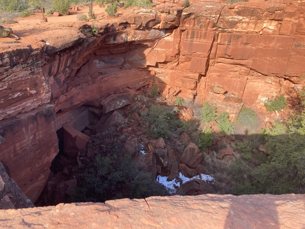
Looking into Devil's Kitchen sinkhole. Photo: DarkNight0917, CC BY-SA 4.0, via Wikimedia Commons
Where to go beyond Sedona
AllTrails groups off-road driving trails around Sedona by nearby town, including Munds Park, Cornville, Cottonwood, Jerome, Camp Verde and Happy Jack. Munds Park and Happy Jack sit in the cooler pine country toward Flagstaff, while Cottonwood and Camp Verde hold the lower Verde Valley routes. Not stated on the pages we cover are difficulty ratings for these town networks, so pick per trail once you choose a town.
Cottonwood also works as a combined day. Day-use entry to Dead Horse Ranch State Park costs $10 for one person per vehicle, $20 per vehicle with 2 to 4 people, or $5 per individual or bicycle. For a machine for that area, the Vortex full-day side-by-side rental in Sedona and Cottonwood covers both towns in one booking.
| Town | Notes |
|---|---|
| Munds Park | Pine country trails toward Flagstaff |
| Cornville | Verde Valley riding |
| Cottonwood | Trails plus Dead Horse Ranch State Park |
| Jerome | Mountain town routes |
| Camp Verde | Lower Verde Valley |
| Happy Jack | Cooler forest network |
Getting there
Sedona sits 113.4 miles and about 2 hours from Phoenix via I-17 and SR 179 or SR 89A, so a morning start from Phoenix still leaves most of a day on the trails. A proposed 15 mph OHV limit applies only on City of Sedona-owned streets signed by resolution, starting with Morgan Road, and never on ADOT-owned SR 89A or SR 179, so town streets and highways follow different rules.
Source: Arizona State Parks.
Why do I feel sick in Sedona?
Sedona sits at elevation with big temperature swings, and bumpy trail riding in heat can add to queasiness, so hydrate and ride early in the day.
Some visitors feel off in Sedona. The most likely culprits for an ATV day are elevation, heat and motion on rough trails.
Elevation, heat and motion
The pages we cover do not state Sedona's elevation figure, so the exact number is not stated, but the temperature data tells the story. Red Rock State Park near Sedona averages highs from 56°F in January up to 97°F in July and 94°F in August, with rain peaking at 2.47 inches in March and 1.94 inches in September. Riding a machine on rocky trails in 90-degree heat invites motion sickness and dehydration, so start early and carry more water than you think you need.
The seasons shape your ride. Winter rides run cool, with January highs of 56°F and lows of 30°F, so layer up. Summer afternoons are the hottest window, and the Honanki Heritage Site closes above 100°F, which tells you when sites start shutting. Spring and fall give the most comfortable trail temperatures.
| Season | Average high | Average low |
|---|---|---|
| Winter, December to February | 57°F to 61°F | 31°F to 33°F |
| Spring, March to May | 65°F to 82°F | 37°F to 49°F |
| Summer, June to August | 93°F to 97°F | 58°F to 64°F |
| Fall, September to November | 88°F down to 64°F | 58°F down to 36°F |
Sources: Arizona State Parks, Coconino National Forest.
What are the Seven Secret hikes in Sedona?
The Seven Secret hikes are a Visit Sedona collection of quieter trails, and the closest link to your ATV day is that OHV routes reach trailheads, such as the Vultee Arch trailhead at the end of the Dry Creek drive.
The Seven Secret hikes are a hiking series, not an ATV topic, but several connect to the routes you can ride.
How they connect to your ride
Visit Sedona publishes a Sedona Secret 7 collection of lesser-known hikes, one of which is the Palatki Heritage Site in its Ancient Trails grouping. The Red Rock Ranger District office that administers these sites is at 8375 State Route 179, Sedona, phone (928) 203-7500.
For your ATV day, the practical link is trailhead access. Riding Dry Creek Basin puts you at the Vultee Arch trailhead for a 3.6 mile round trip hike, cutting the walking time drastically. The Sedona Shuttle also serves trailheads for hikers, including Cathedral Rock, Little Horse, Soldier Pass, Dry Creek Vista and Mescal from free park-and-ride lots, roughly 7 a.m. to 5 p.m., so mixed groups can split between riding and hiking and still meet at the same sites.
Where can I find a Sedona off road trails map or PDF?
Start with the forest service Sedona Area OHV Routes page for the official list of 11 routes, and know that Broken Arrow is the one classic road missing from Google Maps.
Two maps cover most needs. The official forest list is the legal reference, and a detailed private map covers the route Google omits.
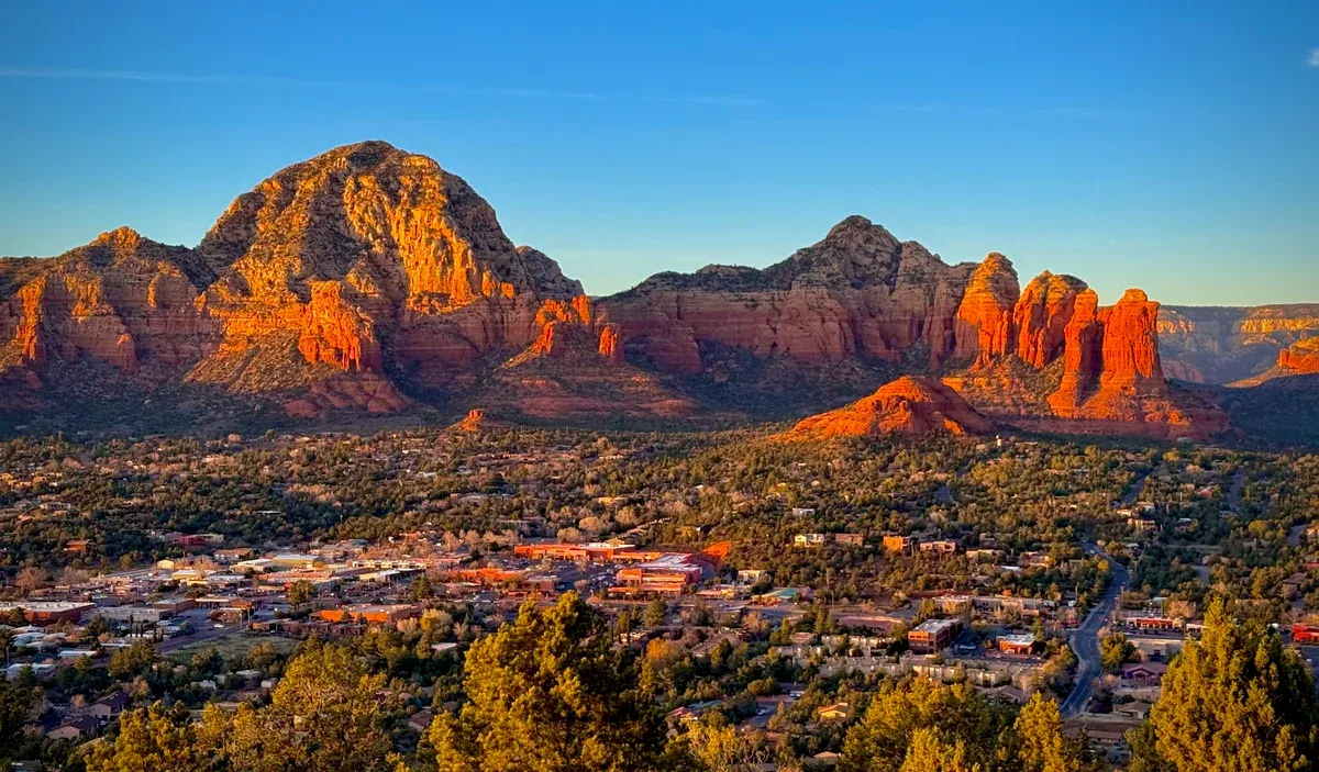
Capitol Butte (Thunder Mountain) from Airport Mesa overlook. Photo: Eddiewexler, CC0, via Wikimedia Commons
Which map to use
The Coconino National Forest publishes a page of Sedona area OHV routes in the Red Rock Ranger District, highlighting 11 routes with difficulty ratings. That page is your official reference and the closest thing to a printable route list. Earth Trekkers provides its own Google map of six 4WD roads and notes that Broken Arrow is the only one of the six not on Google Maps, which is why a detailed map matters for that route.
Check conditions before you go. The forest service alert on the OHV page reports severe flooding with many closures in the Red Rock Ranger District, so confirm your route is open with the Red Rock Ranger District at 8375 State Route 179, phone (928) 203-7500. Forest closures elsewhere in the forest, near the San Francisco Peaks, Pumphouse Wash and Marshall Lake, sit in the Flagstaff district rather than Sedona.
Sources: Coconino National Forest, Coconino National Forest restrictions.
Which Sedona off-road trails are good for beginners?
Dry Creek Basin is the easiest classic drive at 11 miles over about 2 hours, followed by Schnebly Hill Road at its easy end, and the guided ATV tour of the West Sedona backcountry removes the navigation entirely.
Beginners should start on the easy end of the six classic roads or ride with a guide. Both paths end at the same red rock views.
Beginner picks
Earth Trekkers lists the six Sedona 4WD roads easiest to hardest as Schnebly Hill Road, Dry Creek Basin, Outlaw Trail, Diamondback Gulch, Soldier Pass Road and Broken Arrow. Dry Creek Basin is explicitly rated easy, an 11-mile drive of about 2 hours, and Schnebly Hill Road is rated easy to adventurous with a low thrill factor, so its lower miles suit a first drive. Save Broken Arrow and the adventurous Volcanic Rim Loop for a later trip.
A guided tour is the other beginner route. The guided ATV tour of the West Sedona backcountry runs 4 hours including about 3 hours on the trail at $229.59 per person, rated 4.9 from 1,885 reviews, and includes helmets, goggles, water and snacks. The Rim Run Supreme jeep tour up Schnebly Hill Road puts a driver in charge for 2.5 hours at $124 per person. On the state OHV safety front, at least one owner per vehicle must complete a free online OHV safety course, a 10-minute video with 20 questions, by June 1, 2027, a rule that applies to owners rather than renters.
| Route | Difficulty |
|---|---|
| Dry Creek Basin | Easy |
| Schnebly Hill Road | Easy to adventurous, low thrill factor |
| Outlaw Trail | Moderate |
| Diamondback Gulch | Mid-pack |
| Soldier Pass Road | Mid-pack |
| Broken Arrow | Hardest of the six |
Plan around the weather
Winter riding means cold mornings, with December highs of 57°F and lows of 31°F. Summer means heat, with July highs of 97°F, so book early slots. Spring and fall deliver the mildest trail conditions, with April averaging 73°F and October 77°F. Whichever season you pick, confirm trail openings with the ranger district, because flooding closures have been active in the Red Rock Ranger District.
Sources: Arizona State Parks, Arizona State Parks.
Off-Road Trails FAQ
Can you go off roading in Sedona?
Yes. The Red Rock Ranger District of the Coconino National Forest lists 11 OHV routes in the Sedona area, from easy dirt forest roads to extreme 4WD routes needing high clearance. Ride only on open authorized roads.
What is the most famous trail in Sedona?
Broken Arrow, a renowned 3.9-mile OHV route in the Coconino National Forest, listed as a 4-mile round trip and ranked hardest of the six classic Sedona 4WD roads.
Do I need a permit to ride Sedona OHV trails?
Soldier Pass needs a permit booked at least 72 hours ahead on Recreation.gov, and Casner Mountain needs a free yearly-limited permit from the Red Rock Ranger Station. Nonresidents on ATVs or UTVs up to 2,500 pounds also need the $25 Arizona OHV decal. Ask your rental operator whether the machine already carries it.
Which trails can I ride on a 2-hour rental?
Dry Creek Basin to Devils Bridge, which cuts the hike to 1.6 miles round trip from the trailhead. Longer loops like Outlaw at 10.5 miles or Schnebly Hill at 11 miles one way need 4 hours or more.
Is Schnebly Hill Road open?
It appears as a 11-mile one-way route on the forest service OHV list, but the district has posted severe flooding with many closures, so check with the Red Rock Ranger District at (928) 203-7500 before you go.
How long does it take to drive Schnebly Hill Road?
Plan on 2 to 3 hours for the 12 to 17 mile run, with Merry-Go-Round Rock at mile 4.0 and Schnebly Hill Vista at mile 5.7.
Why do I feel sick in Sedona?
Heat, elevation and rough trail motion are the usual causes on an ATV day. Summer highs average up to 97°F, so ride early, hydrate, and take breaks out of the sun.
Are Sedona trails dog friendly?
Dog rules for the OHV routes are not stated on the pages we cover, so check with the Red Rock Ranger District before bringing a dog on any trail machine.
More Guides
- Broken Arrow Trail in Sedona: Can You Ride It on an ATV or Jeep?
Broken Arrow Trail Sedona 2027: length, difficulty, parking, ATV rules and rides from $134.81 per person. Plan your red rock day here.
- Honanki Heritage Site Near Sedona: Can You Get There by ATV or UTV?
Reach Honanki Heritage Site by ATV or UTV in 2027. Rough 10-mile forest road, 9:30 a.m. to 3 p.m. hours and $5 parking. See routes and tours.
- Do You Need an Arizona OHV Decal for a Sedona ATV Rental?
Renting an ATV in Sedona? The $25 OHV decal is the owner's job, not yours. Learn the rules, the trails and what to check before you ride. 2027